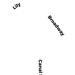
2 TULIP STREET
Owner Information
2 TULIP STREET LLC
2 TULIP STREET
SALEM, MA 01970


Property Details
2 TULIP STREET is classified as a General Office Buildings (Office).
The primary structure on this property was built in 1900. There are 1,920ft2 of built area within this property. There is 1,920ft2 of residential/living space within this property.
2 TULIP STREET is valued at $424,400. The land is valued at $344,000 and the structures are valued at $66,100. There is an additional valuation of $14,300 on this property.
This property is in Zone I. Confirm with local Zoning Board authorities to ensure there are no overlays or other easements on this property.
The most recent deed for 2 TULIP STREET is recorded at the local registrar in Book 39551, Page 502. 2 TULIP STREET was last sold on Friday, February 19, 2021 for $0.
Assessment data from fiscal year 2022.
Flood Data
This property is partially within the AE Zone (within floodplain). Approximately 0.0 acres (0.43%) of the property is within this zone.
The base flood elevation for this flood zone is 10 feet.
This information is sourced from the FEMA National Flood Hazard Layer. See our full disclamer.
Broadband Internet Providers
| Provider | Type | Bandwidth (mbps) | |
|---|---|---|---|
| HughesNet | Satellite | 25 | 3 |
| GCI Communication Corp. | Satellite | 0 | 0 |
| T-Mobile | Fixed Wireless | 25 | 3 |
| Viasat Inc | Satellite | 100 | 3 |
| Crown Castle Fiber | Fiber | 0 | 0 |
| Verizon New England Inc. | DSL | 15 | 1 |
| Comcast | Cable | 1000 | 35 |
| VSAT Systems, LLC. | Satellite | 2 | 1 |
Broadband service provider data from December 2020.